


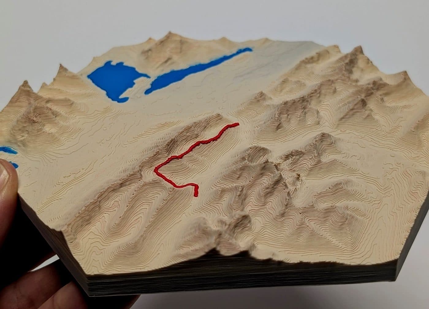
Kananaskis & Canmore 3D Trail Maps
Explore framed 3D-printed hexagonal topographic trail maps across Kananaskis Country, Peter Lougheed Provincial Park, and the Bow Valley above Canmore. Every map models real elevation data with your GPS route raised in red.
Kananaskis & Canmore trail maps
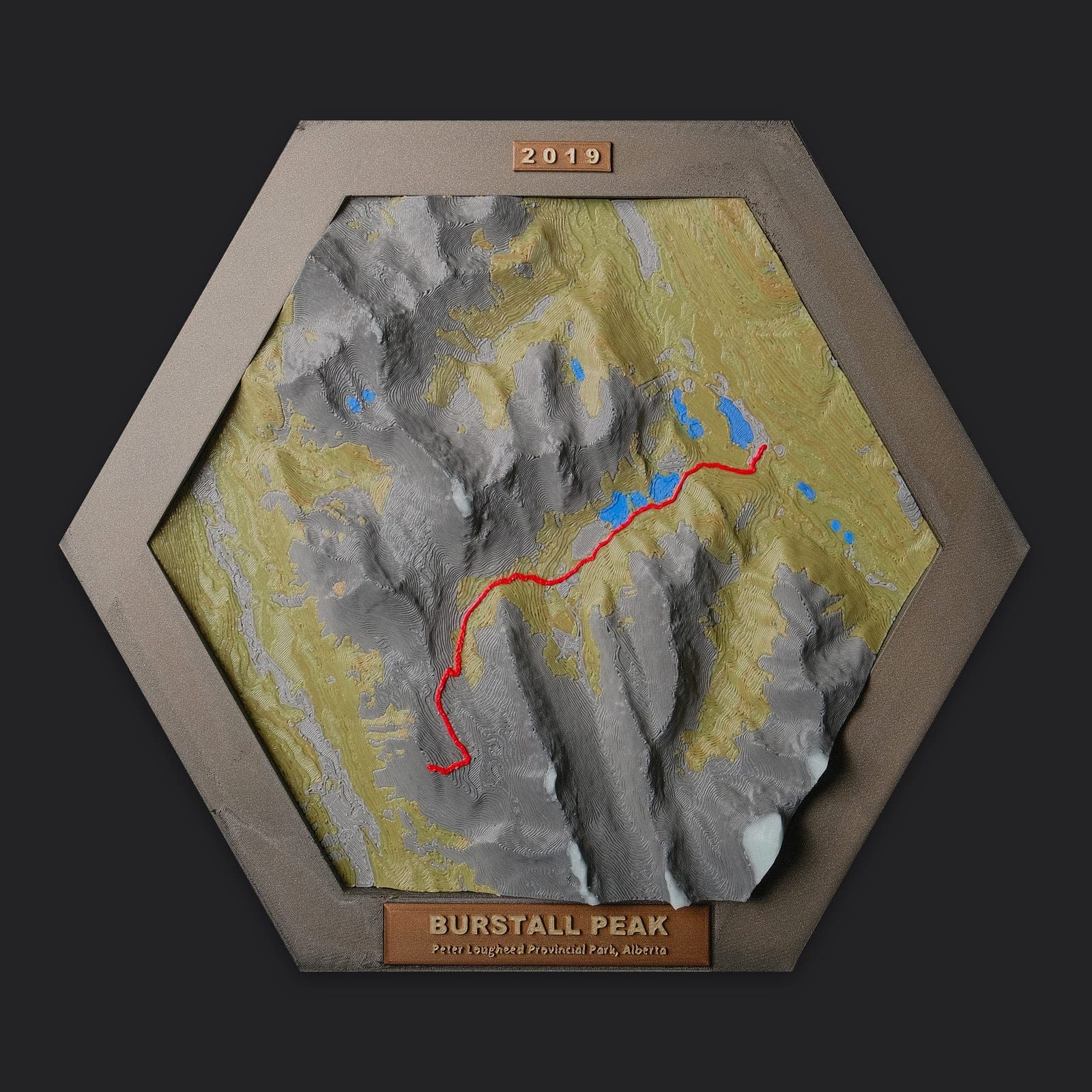
Burstall Pass & Peak
Peter Lougheed Provincial Park, AB
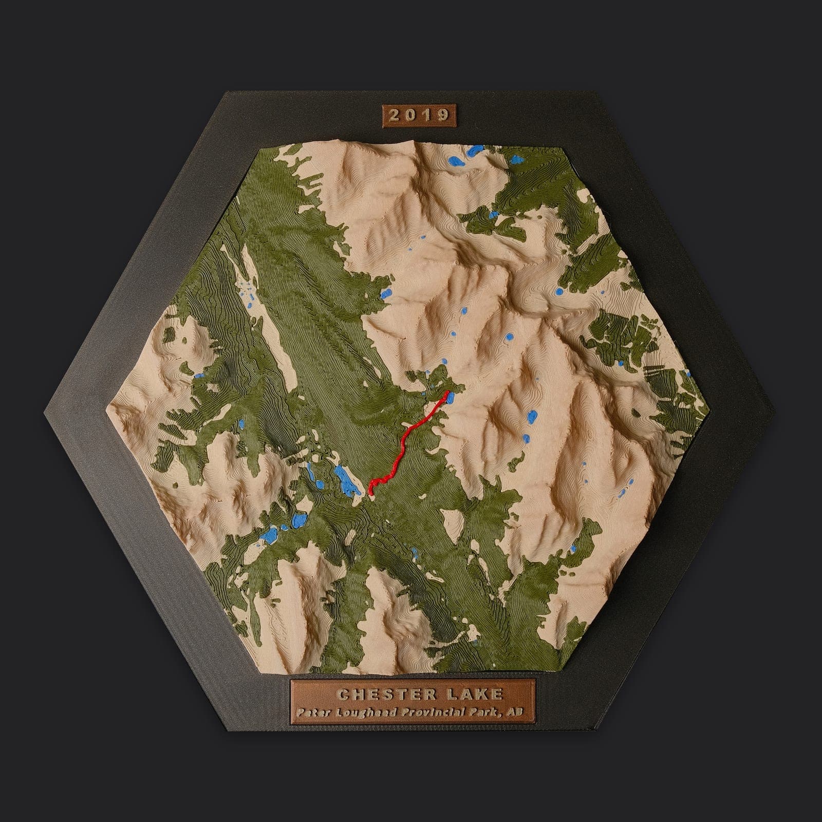
Chester Lake & Elephant Rocks
Peter Lougheed Provincial Park, AB
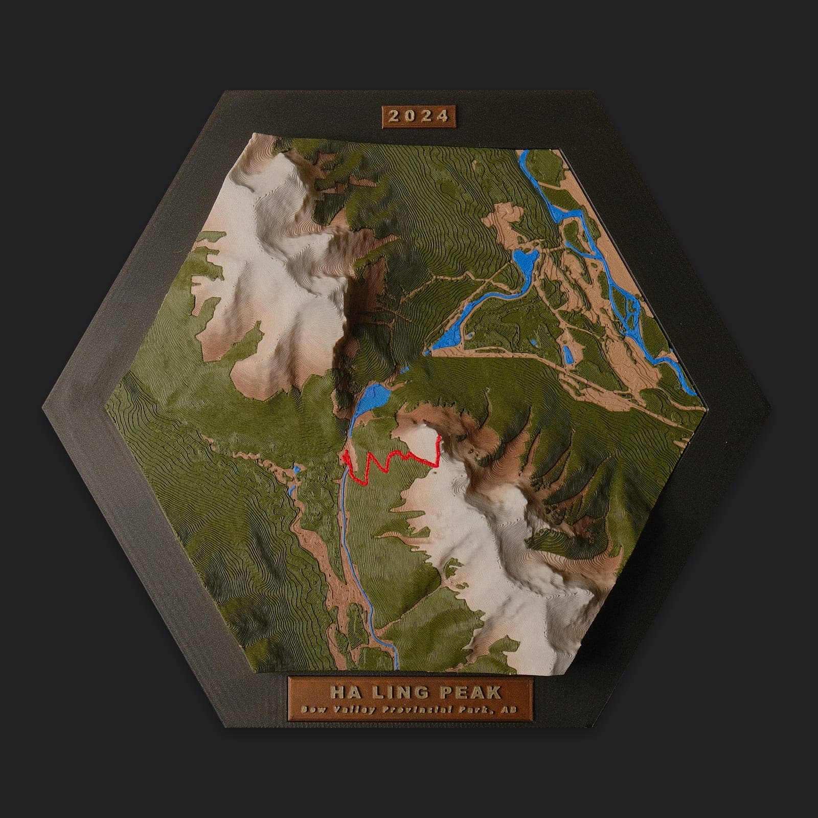
Ha Ling Peak
Canmore, AB
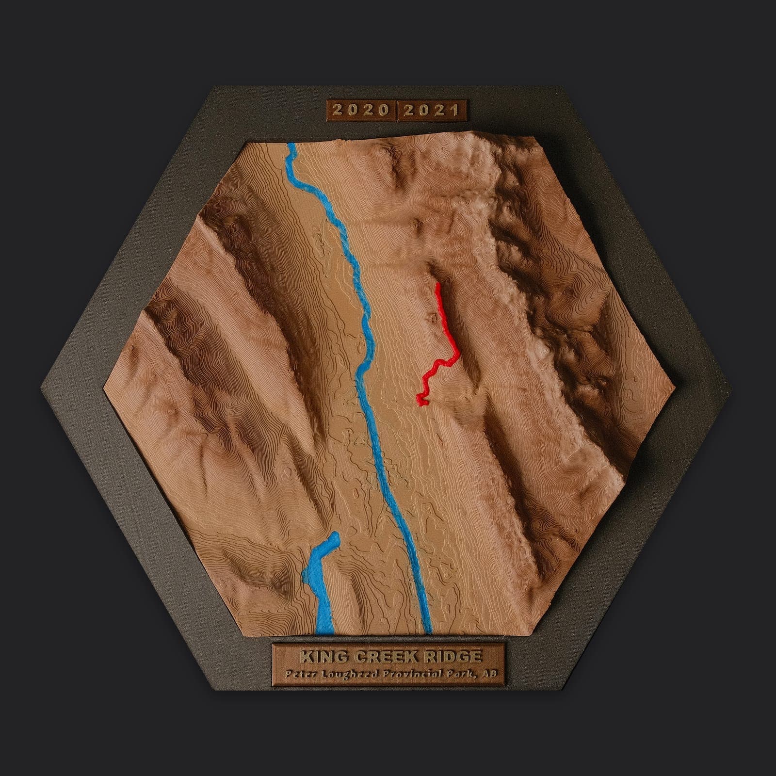
King Creek Ridge
Peter Lougheed Provincial Park, AB
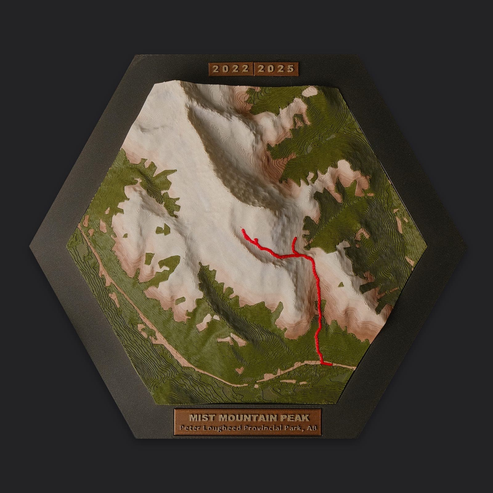
Mist Mountain
Peter Lougheed Provincial Park, AB
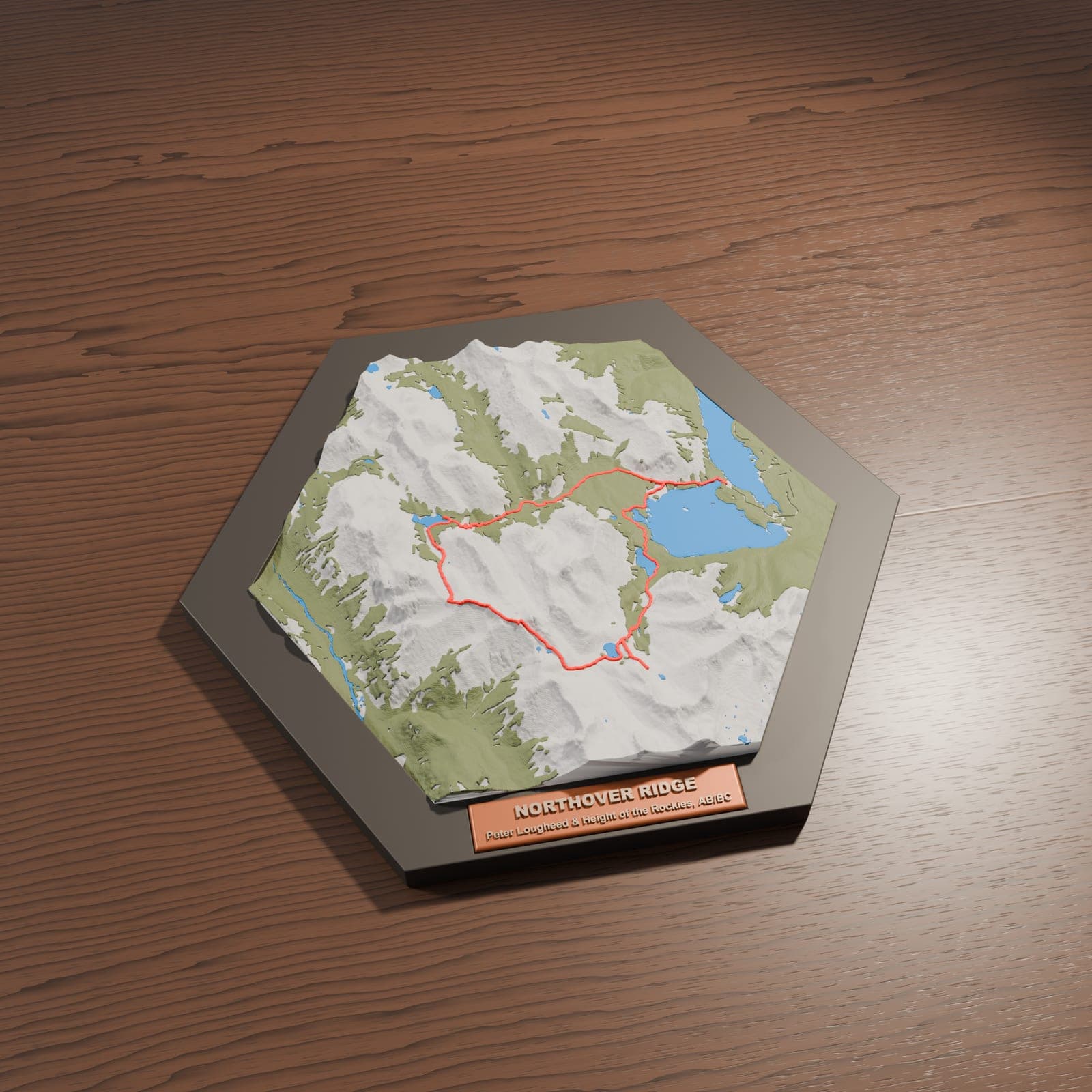
Northover Ridge
Peter Lougheed & Height of the Rockies, AB/BC
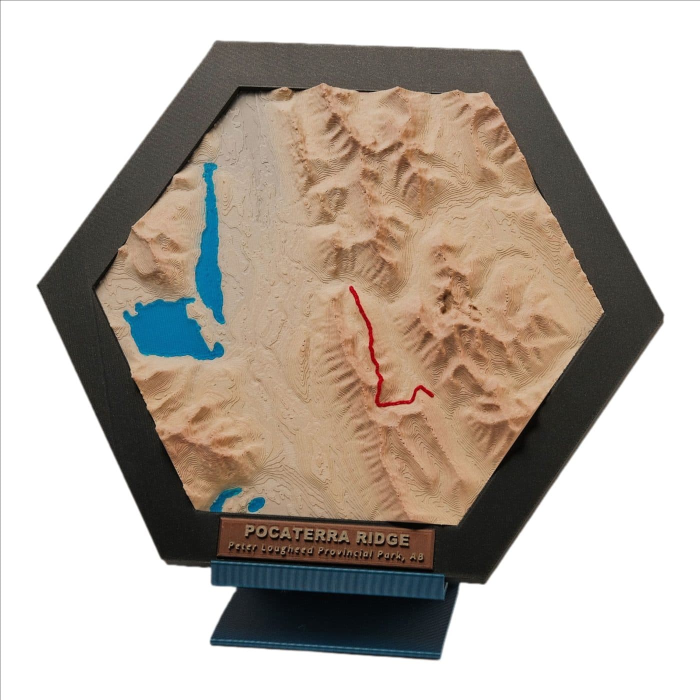
Pocaterra Ridge
Peter Lougheed Provincial Park, AB
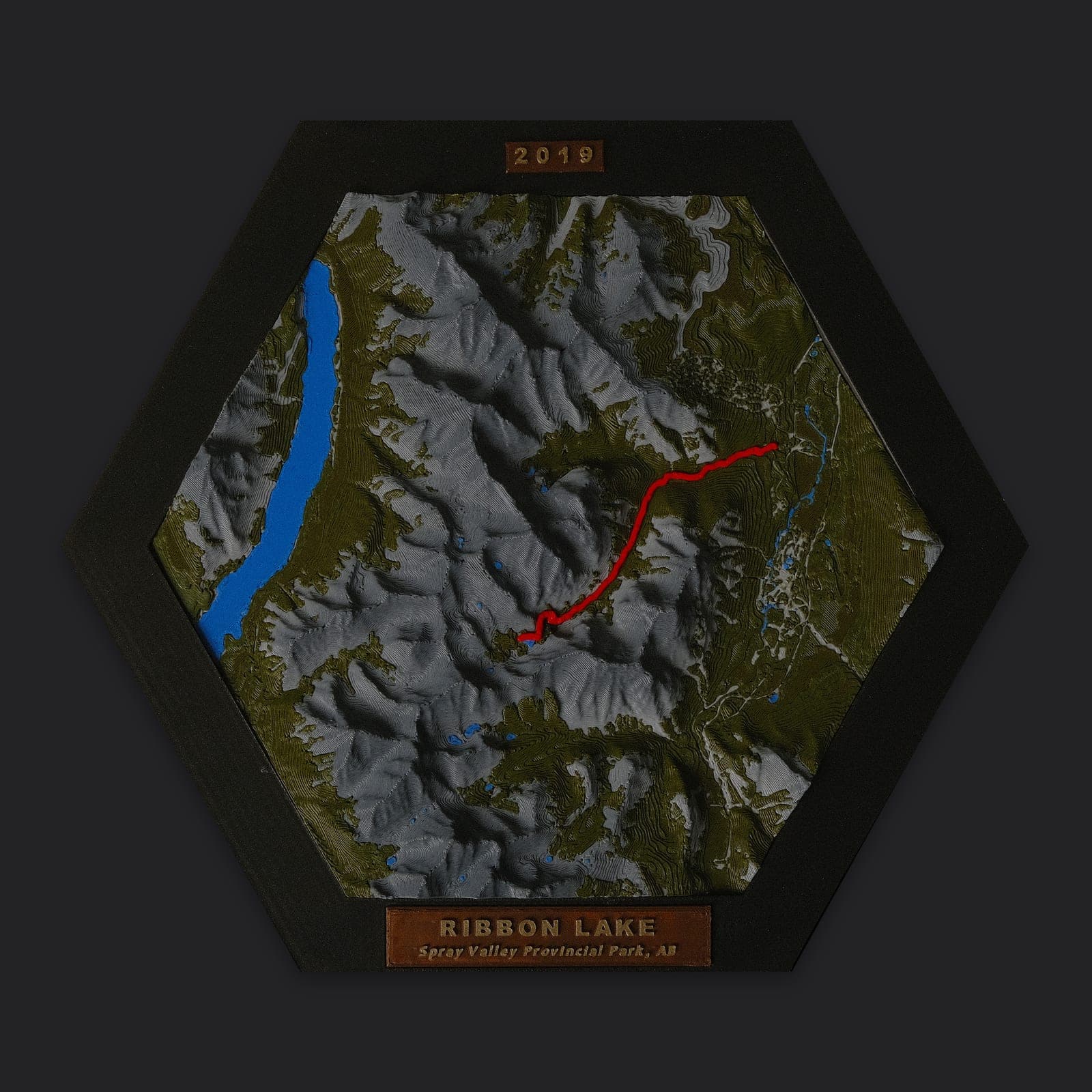
Ribbon Falls & Ribbon Lake
Kananaskis Country, AB
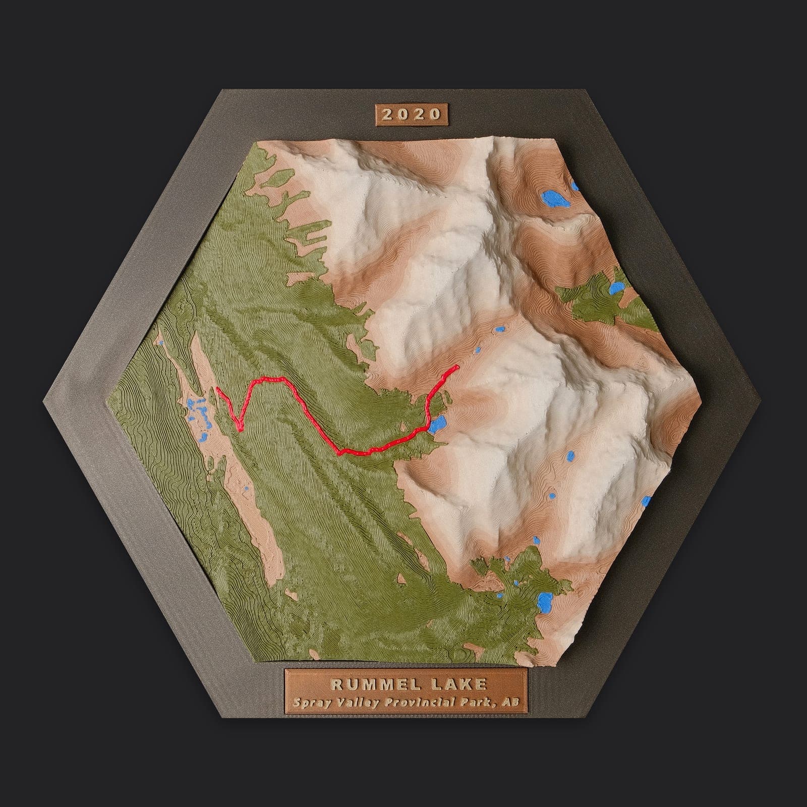
Rummel Lake & Ridge
Spray Valley Provincial Park, AB
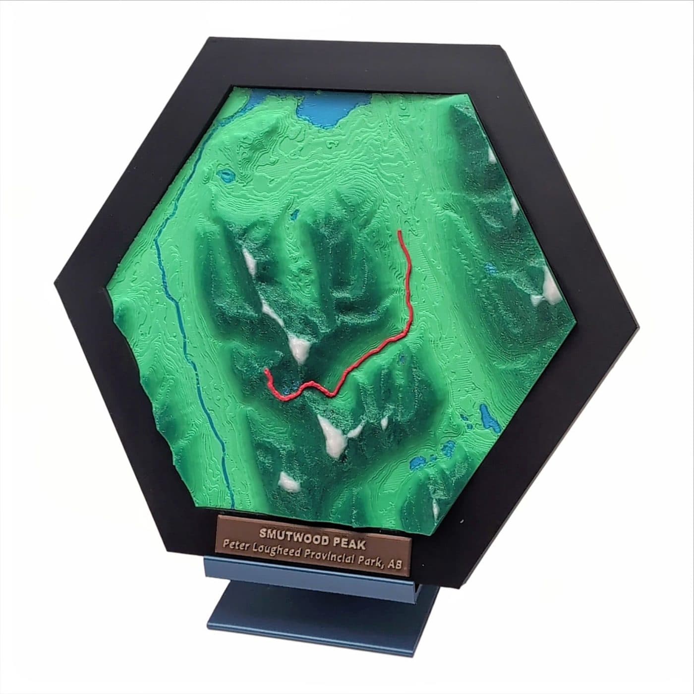
Smutwood Peak
Spray Valley Provincial Park, AB
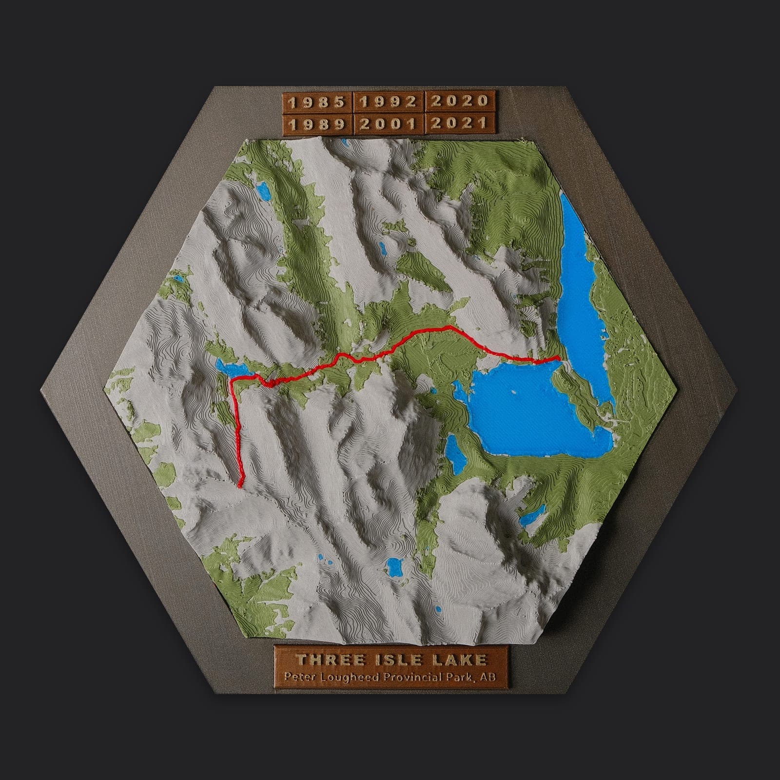
Three Isle Lake
Peter Lougheed Provincial Park, AB
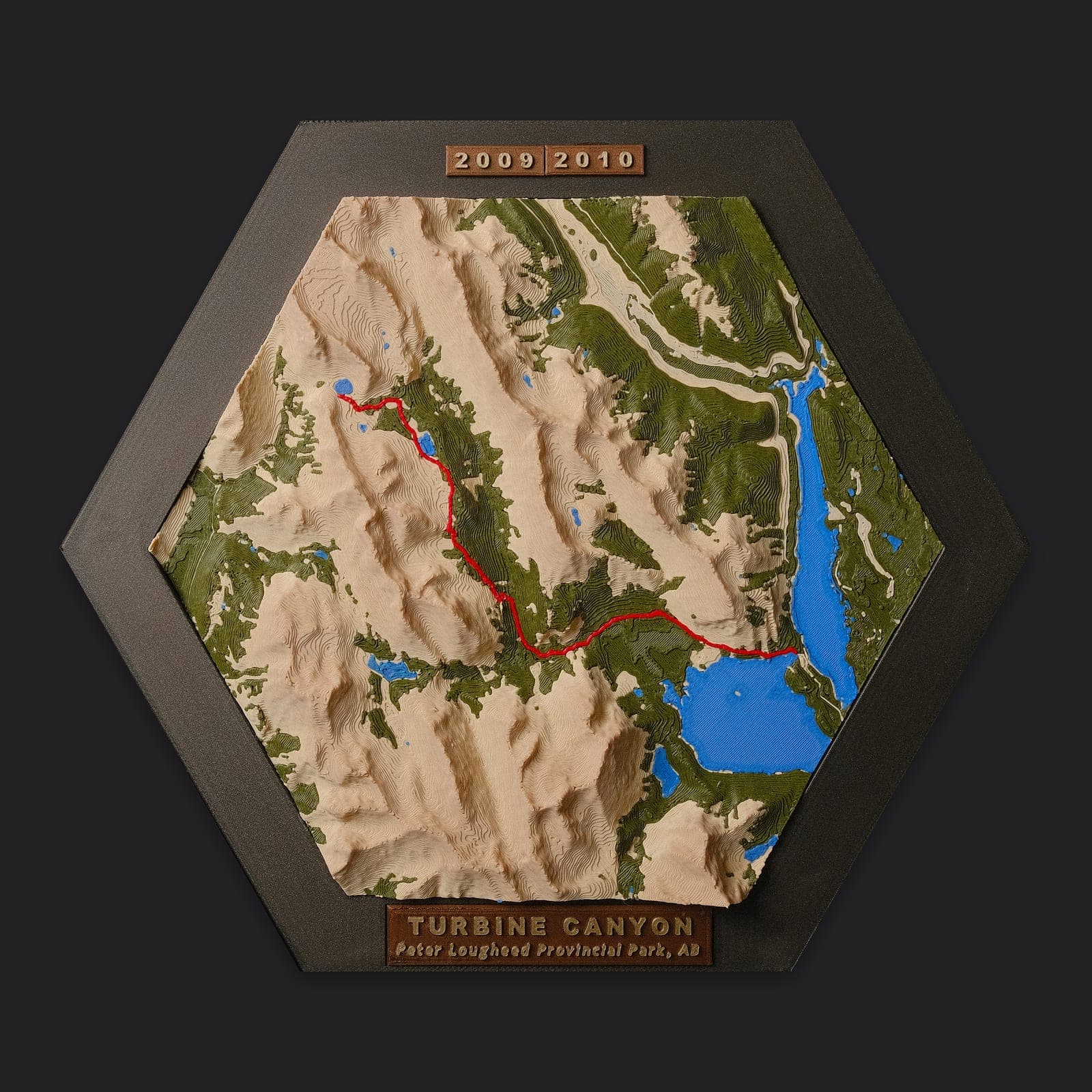
Turbine Canyon
Peter Lougheed Provincial Park, AB
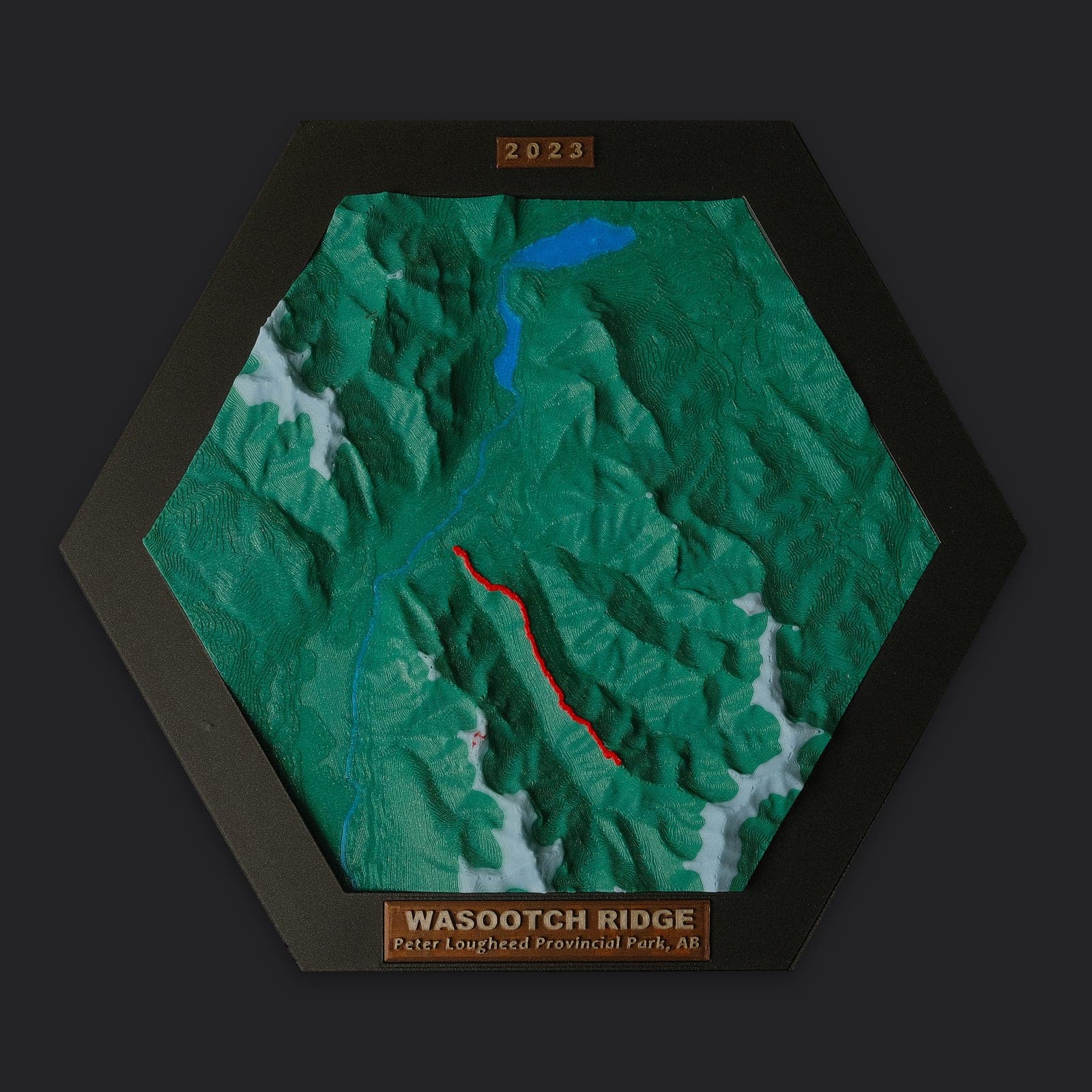
Wasootch Ridge
Kananaskis Country, AB
Hiked a different trail in Kananaskis & Canmore?
Send us your GPX track or trail name and we'll turn it into a framed 3D hex map.