Mist Mountain
Peter Lougheed Provincial Park, AB
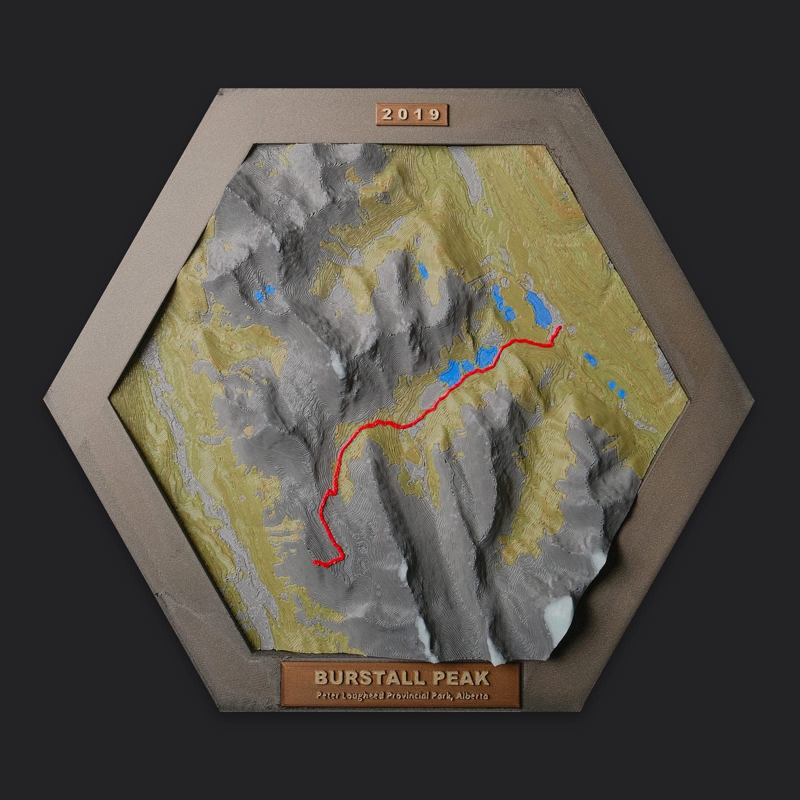
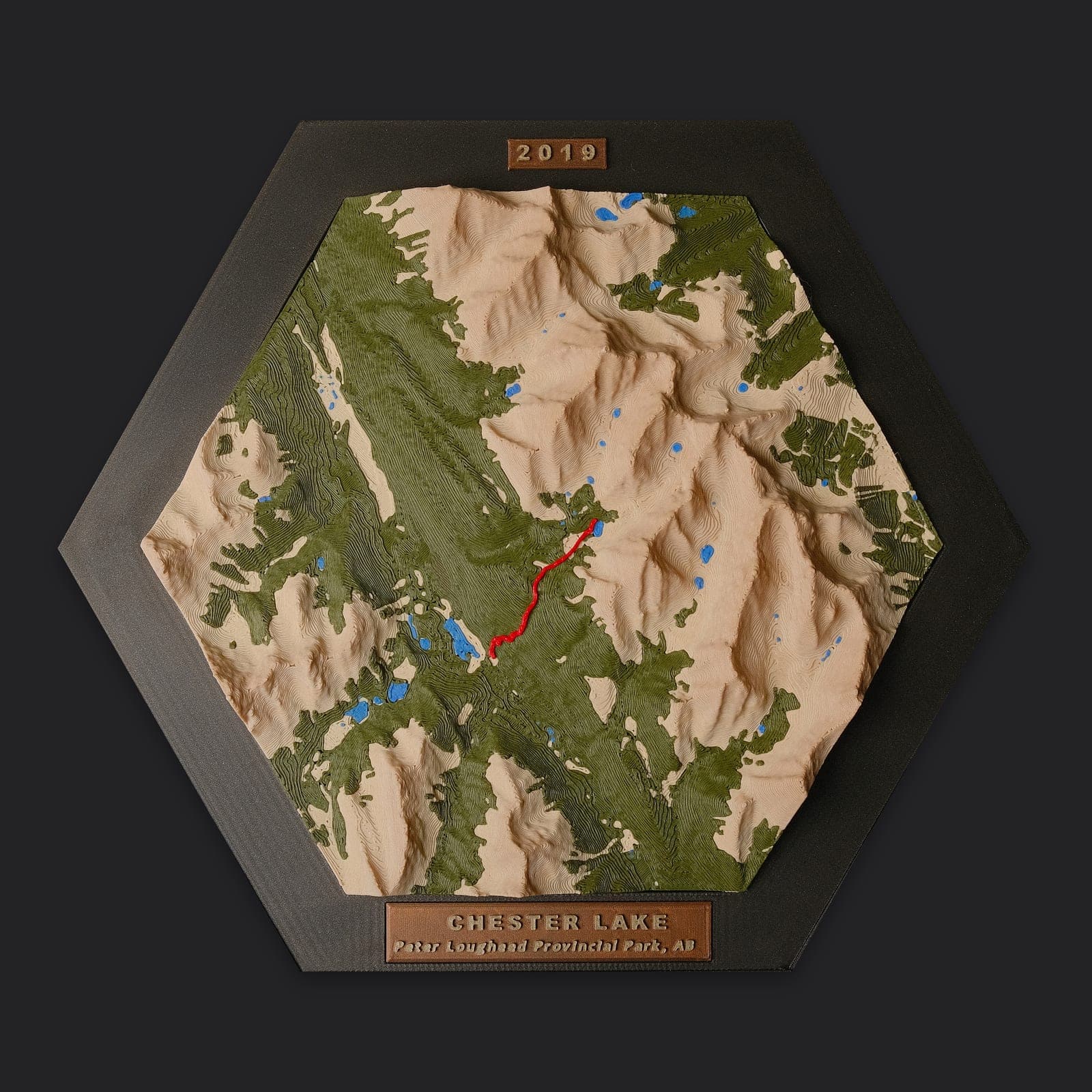
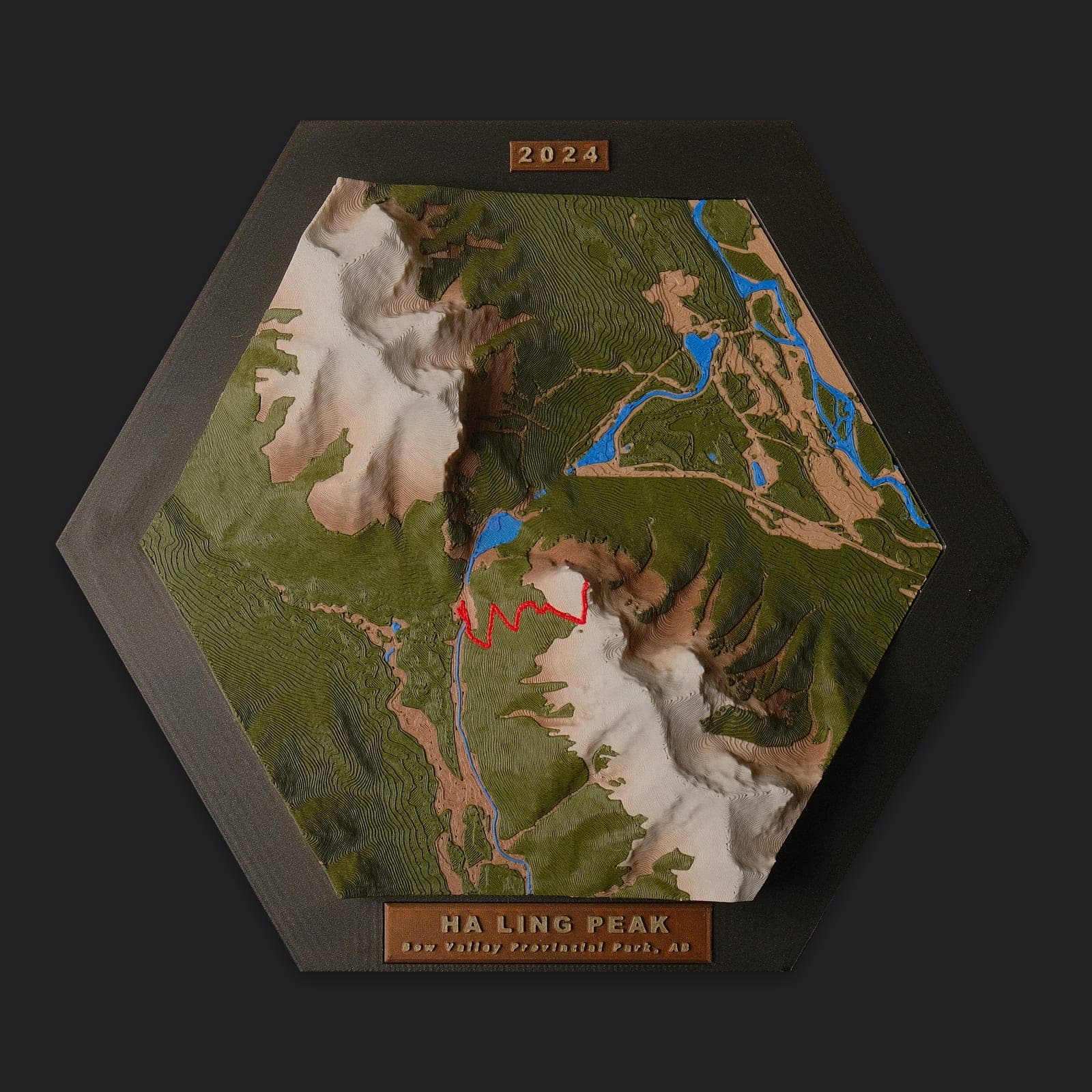
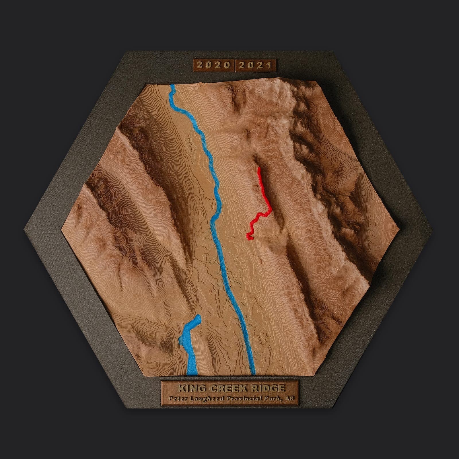
The high alpine cirques and natural cliffside thermal pools of Kananaskis, in true 3D relief. This hexagonal topo map traces the Mist Mountain Peak & Hot Springs Trail with the GPS track raised in red on real elevation data, with lakes, rivers and forest picked out in colour.
The trail
- Distance
- 6.5 km out-and-back (Hot Springs) / 9.5 km (Summit Scramble)
- Elevation gain
- 550 m (Hot Springs) / 1,200 m (Summit)
- Difficulty
- Strenuous to Difficult Scramble
- Highwood Pass Approach: Starting near the highest paved mountain pass in Canada
- Mist Hot Springs: Natural two-person warm pool perched on a dramatic mountain cliffside
- Scree Cirque: Rugged alpine bowl surrounded by towering limestone walls
- Mist Mountain Summit (3,140 m): Panoramic views stretching across the Continental Divide and High Rock Range
Made to order: buy it now and we'll print and frame your map after your order comes in. Colours change from print to print and can look quite different from the photos.
Hiked a different route here? Order a custom version with your own GPS track.
Size & materials
The map is an 8" (20 cm) hexagon measured point to point, 3D printed in PLA in several colours: terrain, forest, water and the trail. It comes set in a hex frame with a name plate.
Colours
Every map is printed to order, and colours change quite a bit from print to print, so your map will likely look different from the photos: the terrain, forest and water may all be different shades or colours. The photos show the shape and detail, not a guaranteed colour scheme. Want particular colours? Mention it at checkout or email us and we'll do our best to match.
Pickup & shipping
Free local delivery or pickup in Okotoks, Alberta or Kamloops, BC, or Canada Post parcel shipping anywhere in Canada (Regular or Expedited, whichever is cheapest), priced at checkout from your postal code.