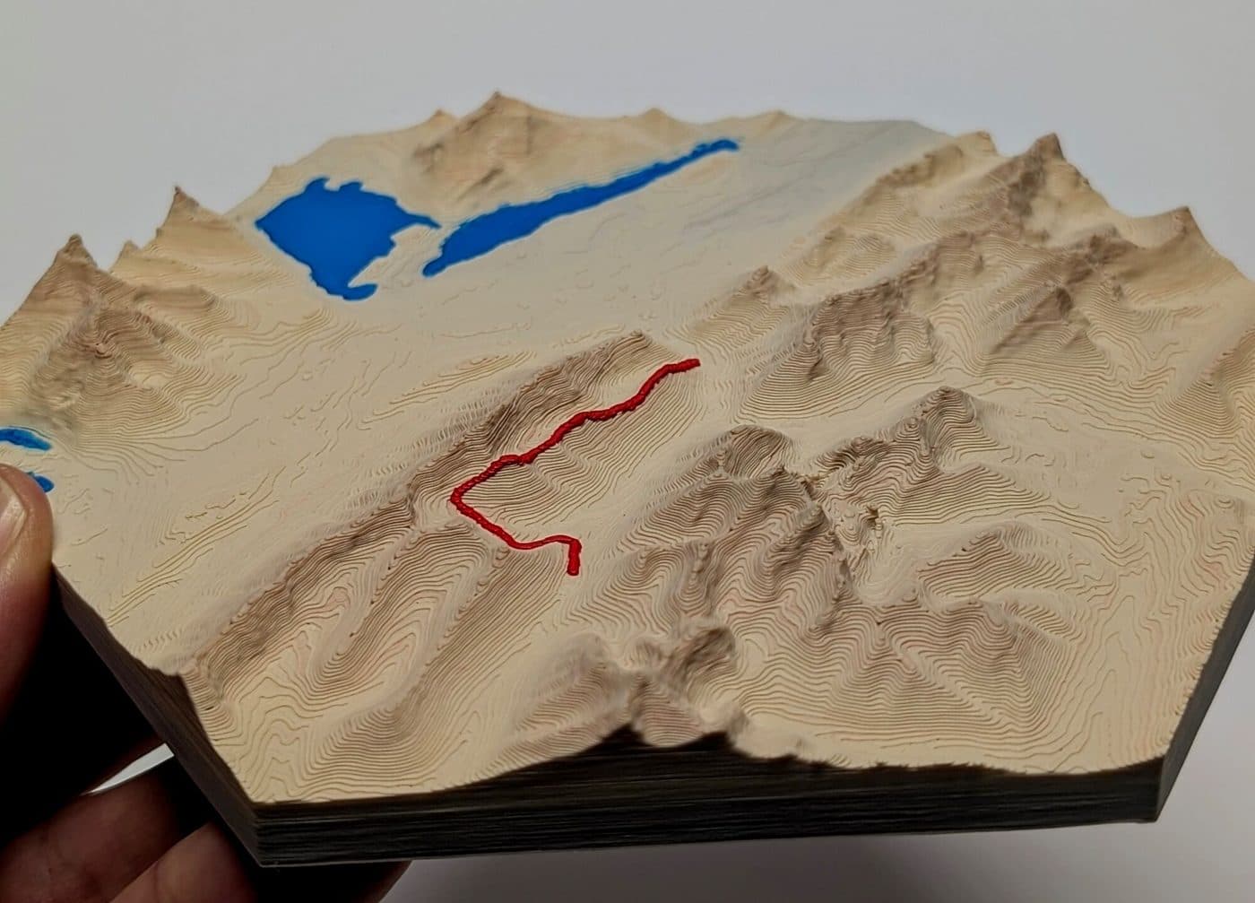
Bring the trail home
3D-printed topographic maps of the hikes we love, from Kananaskis ridges to the wild coast of Vancouver Island. Pick a trail we've already mapped, or send us yours and we'll make it.
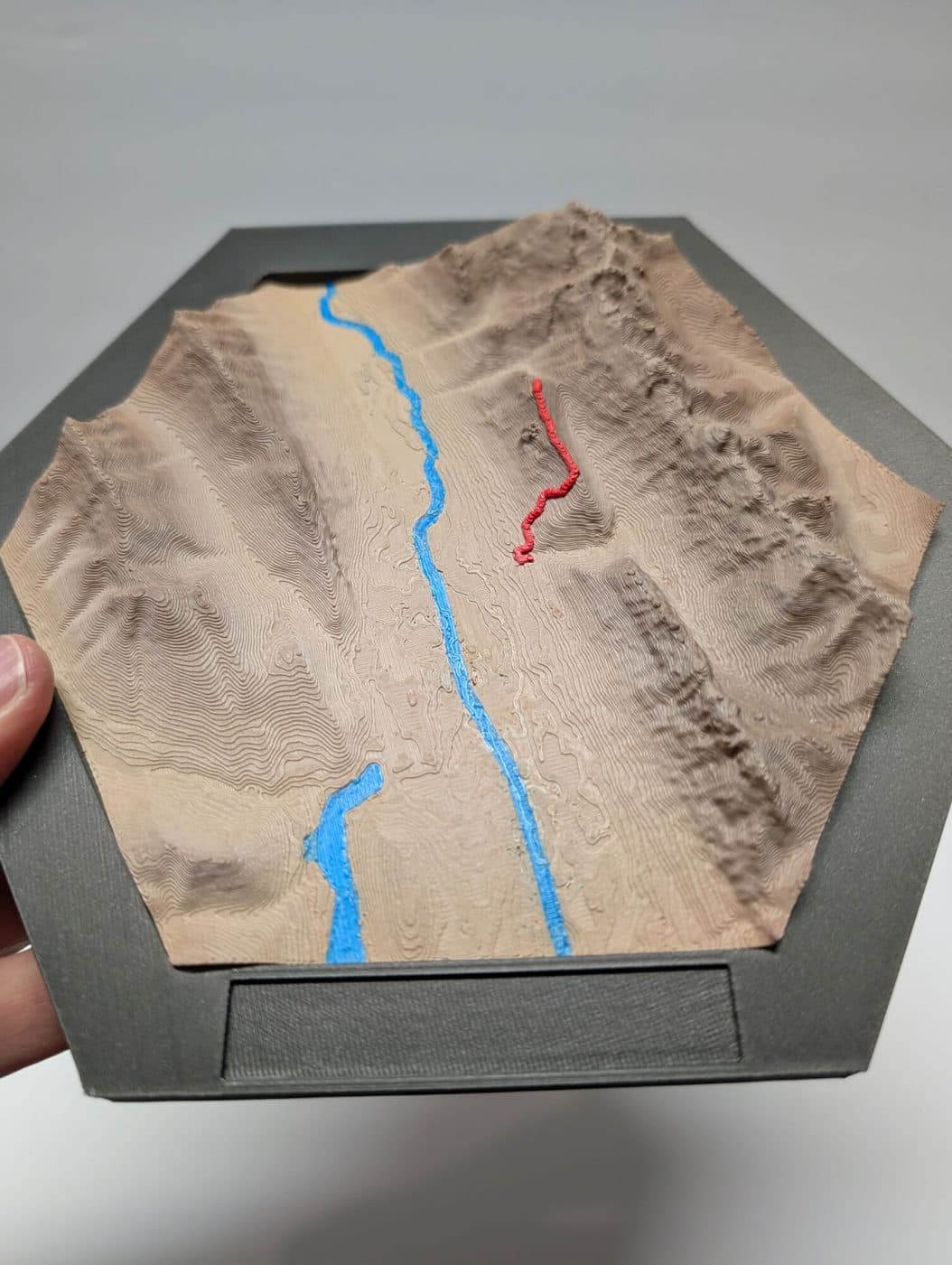
- 8" hexagonMeasured point to point, framed with a name plate
- True 3D reliefReal elevation data, printed layer by layer
- Your trail in redThe GPS track sits right on the terrain
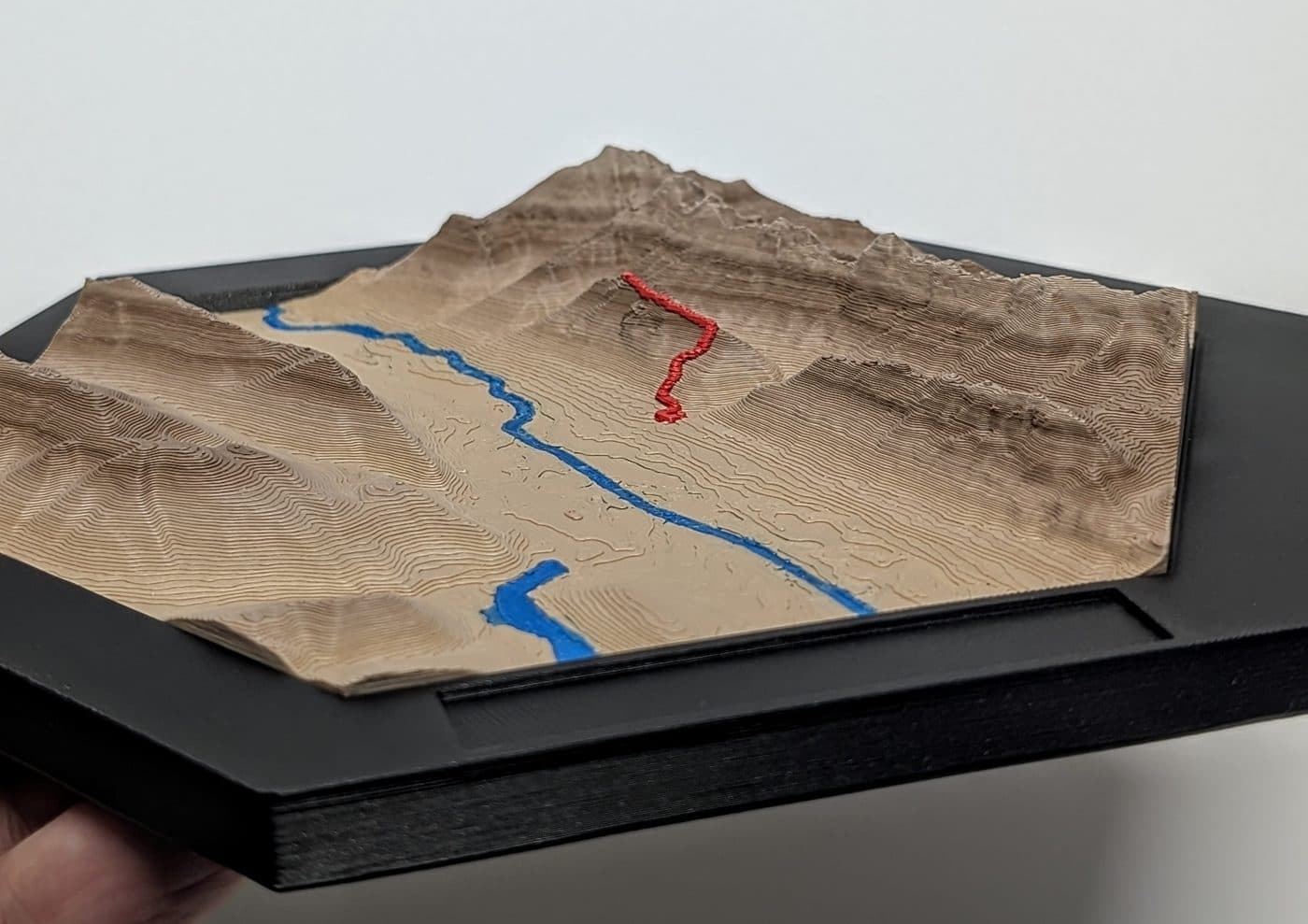
Ready to print
Trails we've mapped
Every map $50.00. Save 10% on 2 maps, 15% on 3, 25% on 4 or more
How they're made
From GPS track to something you can hold
- 1Start with the track
A GPX file from a hike: yours, or one we trace from the trail's route.
- 2Build the terrain
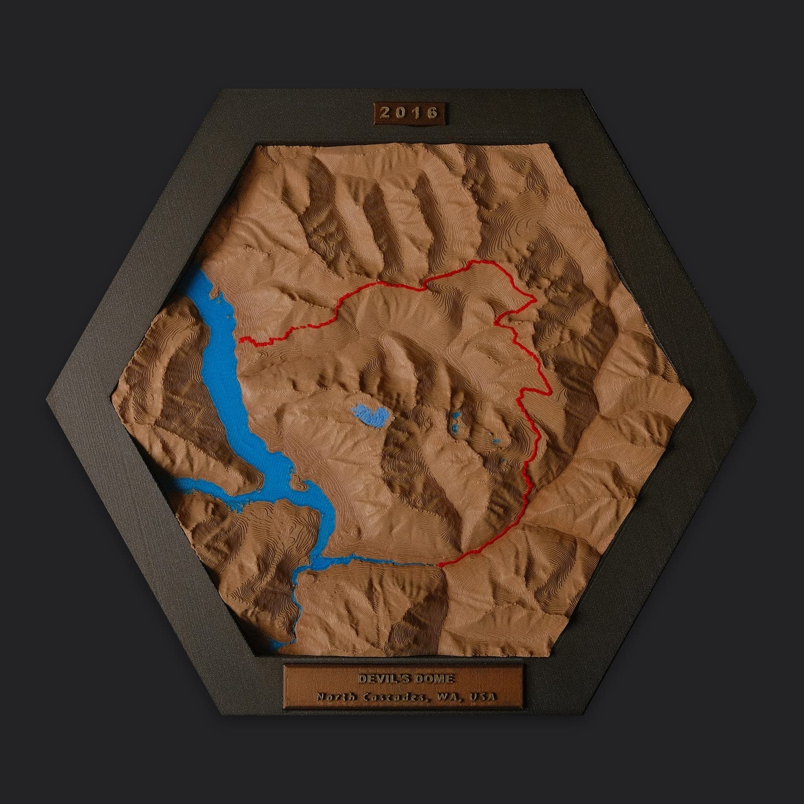
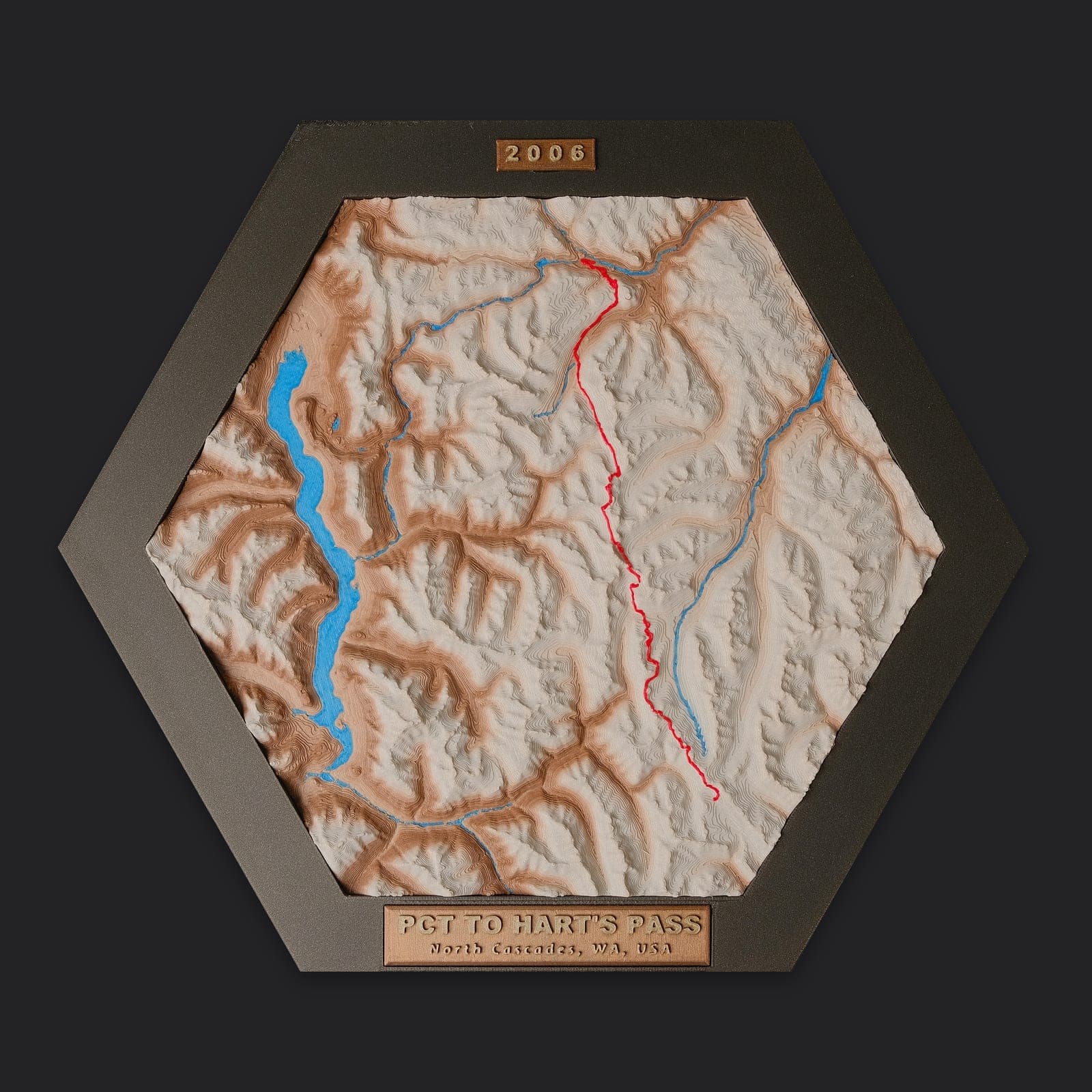
We lay the track over real elevation data and colour the lakes, rivers and forest.
- 3Print in colour
Each map prints in several colours of filament, with the trail raised in red.
- 4Frame it
It's set in a hex frame with a name plate, ready for a wall or shelf.
Every map is made to order: buy it here and we print it once your order comes in. Colours change from print to print, often noticeably, so expect your map's colours to differ from the photos.
Custom maps
Your hike, your map.
Send us a GPX file from your watch, phone or AllTrails, or just tell us the name of the trail. We'll map it, print it and frame it with your own name plate. Same price as the maps above.
Start a custom map →