
Your hike, your map
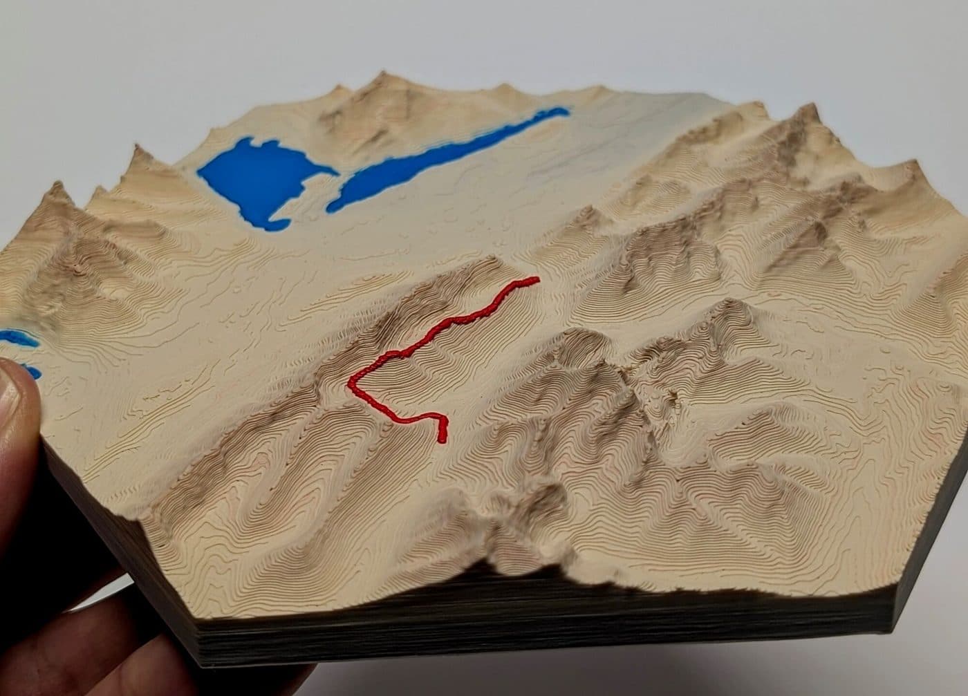
The summit you finally reached, the trail where you got engaged, the hike your family does every summer. Send it to us as a GPX file, or just tell us the trail, and we'll turn it into a framed 3D map.
$50.00 framed · same price as our ready-made maps
- 1Tell us the trail
Type the trail name or paste a link. Got a GPX file? Tick the box and email it after checkout.
- 2We map it
We trace the route over real elevation data and check it with you before printing.
- 3Printed & framed
Your map is printed in colour, framed, and finished with your name plate.
Request your map
Good to know
What's a GPX file and where do I get one?
It's the standard file for a recorded route. Most GPS watches (Garmin, Coros, Suunto, Apple Watch apps), phone apps like Strava, Gaia and AllTrails, and many trail websites let you export or download one.
I don't have a GPX file. Can you still make it?
Yes. Tell us the trail name (and any detours, like a side trip to a lake or summit) and we'll trace the route for you.
Can one map show a multi-day trip?
Usually, as long as it fits in the hexagon at a scale that still shows the terrain. Very long routes, like a full thru-hike, may need to be split; we'll talk it through with you.
What goes on the name plate?
By default, the trail name and park. You can swap in your own words, like a date or "Our first backpacking trip".
Something else? Email 3dprints@creeafabra.ca.